Category Archives: Hiking

Day 3: 22/06

Day 3 started with a hunt for food. I woke up early, organized my backpack and took down my tent. I left my stuff under some trees and went to Beuzec Cap-Sizun looking for food. I bought some stuff on the market and had some paella in an event at the local school.

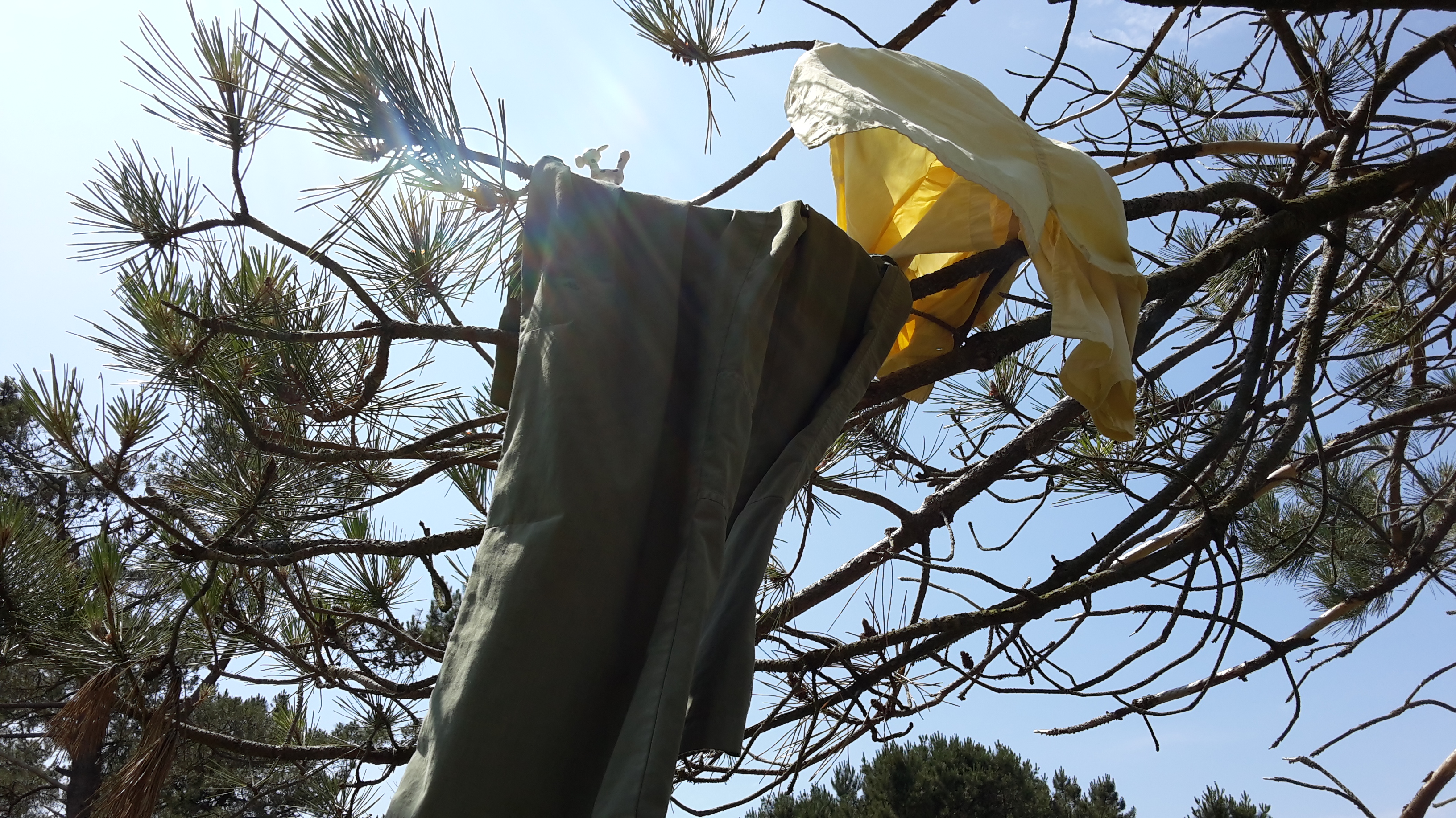
There were toilets near the parking place where I had camped. I realized I hadn’t showered nor changed clothes for two full days. Since there was a toilet nearby, I washed my clothes, my face, hair, and armpits using the sink. I left my clothes and towel drying on the tree right above where I had left my stuff.

Dry faster!
Dry faster!

While I was changing, I noticed something weird in my left thigh. Upon closer inspection, I realized it was a tick! A fat, happy, and plumpy tick! How long had it been there? I don’t know. I pulled it out.

Now I was fed, partly washed, changed and ready to go. Another day in the sentier cotier towards the East.

Even though I woke up early, I started hiking late this day, because of the paella and the tick and the washing and the drying. Also because of a power nap after lunch =).

Even though I had eaten well – a lot of paella -, my muscles were much more tired than the 2 first days. I walked slower and stopped more frequently. Every time I had to go up a hill, I would take a 15 minute pause. After a while, every time I had to go down a hill, I knew it meant I would have to go up a hill later on, so I ended up pausing twice: once before going down and once before going up.

That's too far away. Can we take a break?
That’s too far away. Can we take a break?
Still too far. Can we take another break?

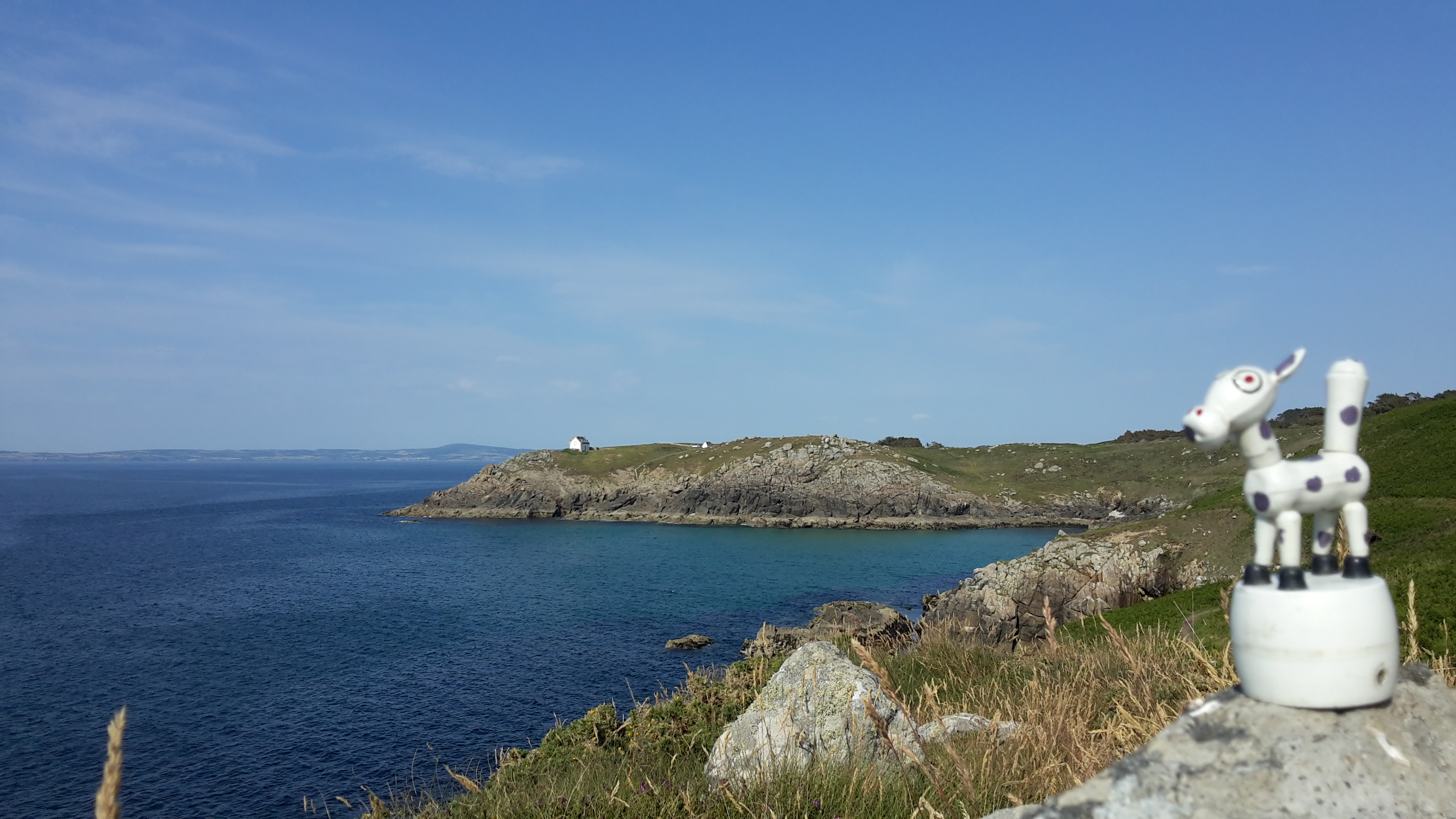
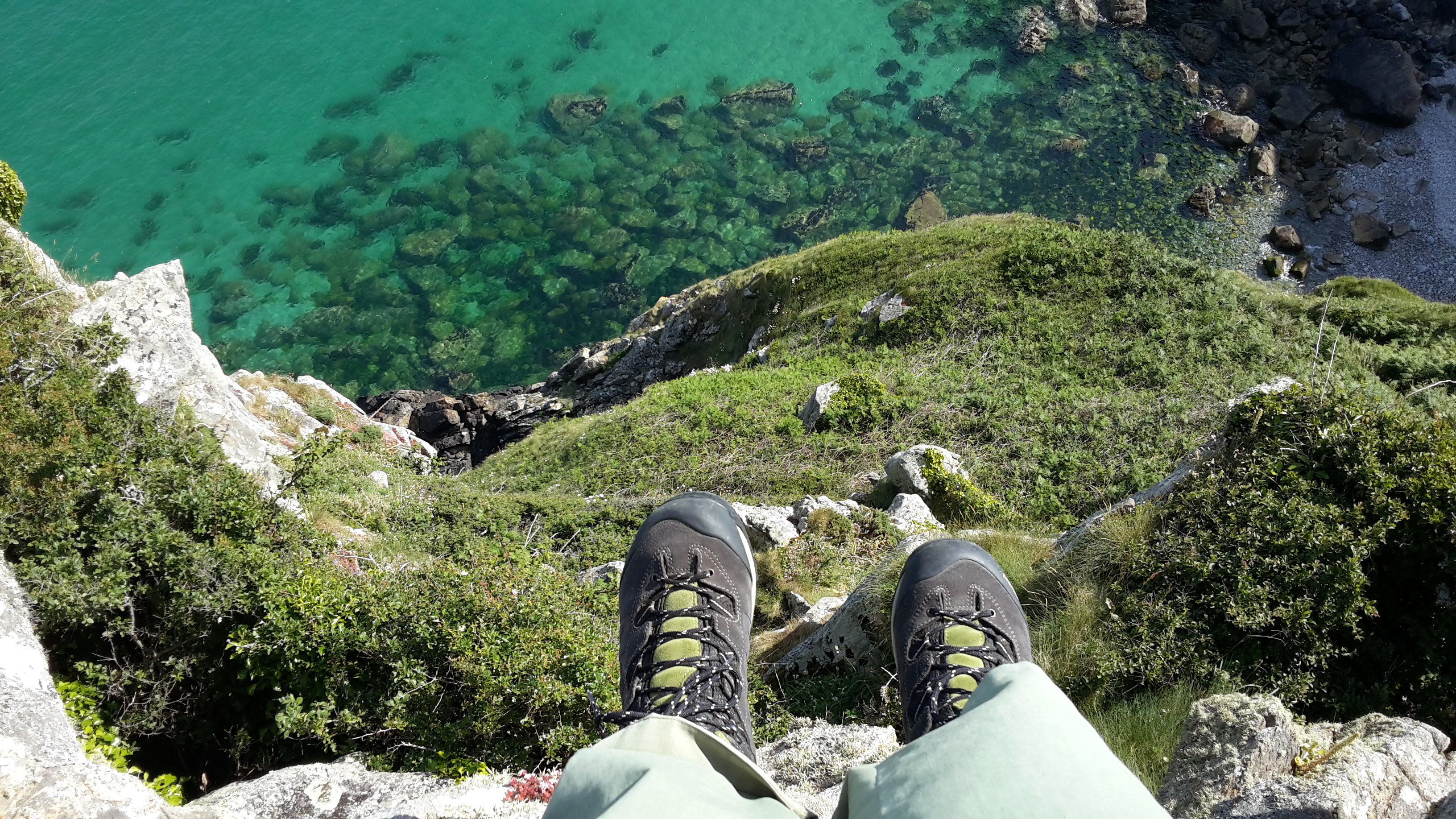
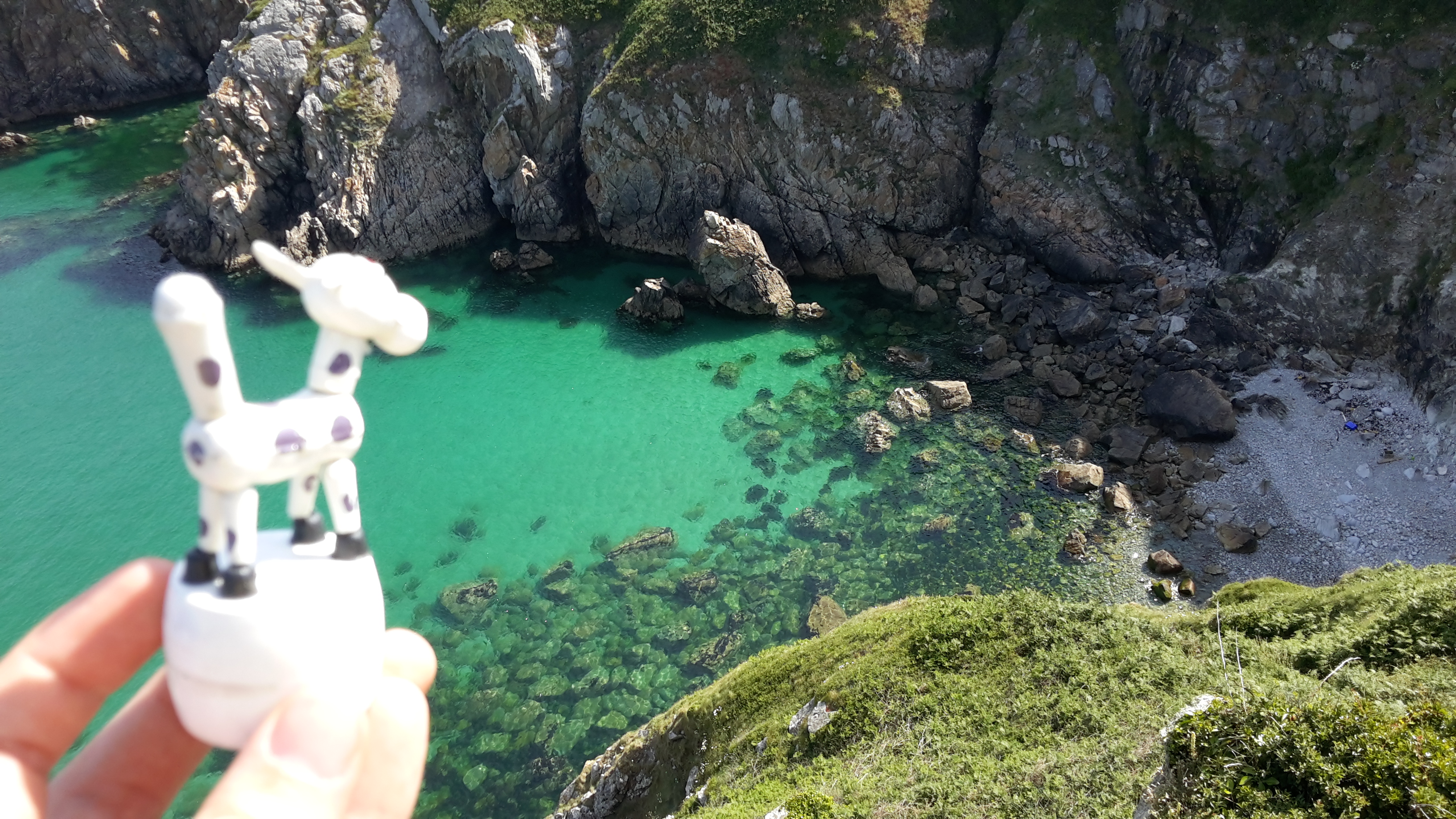
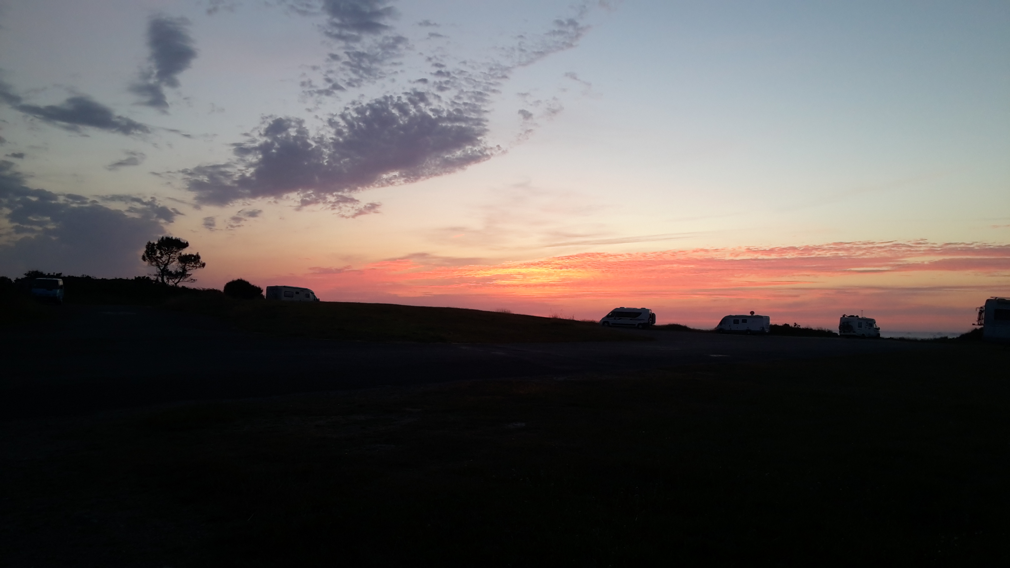
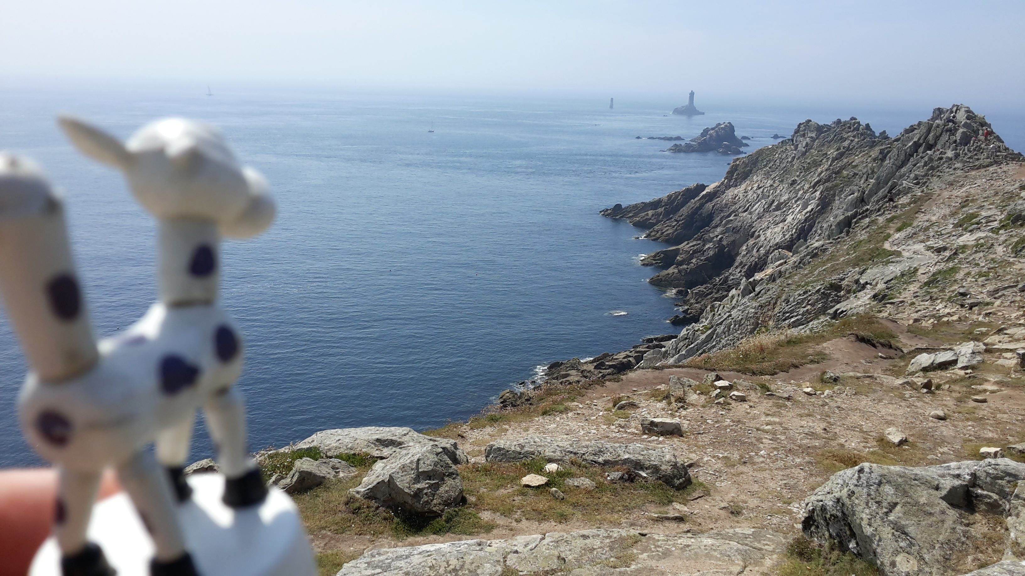
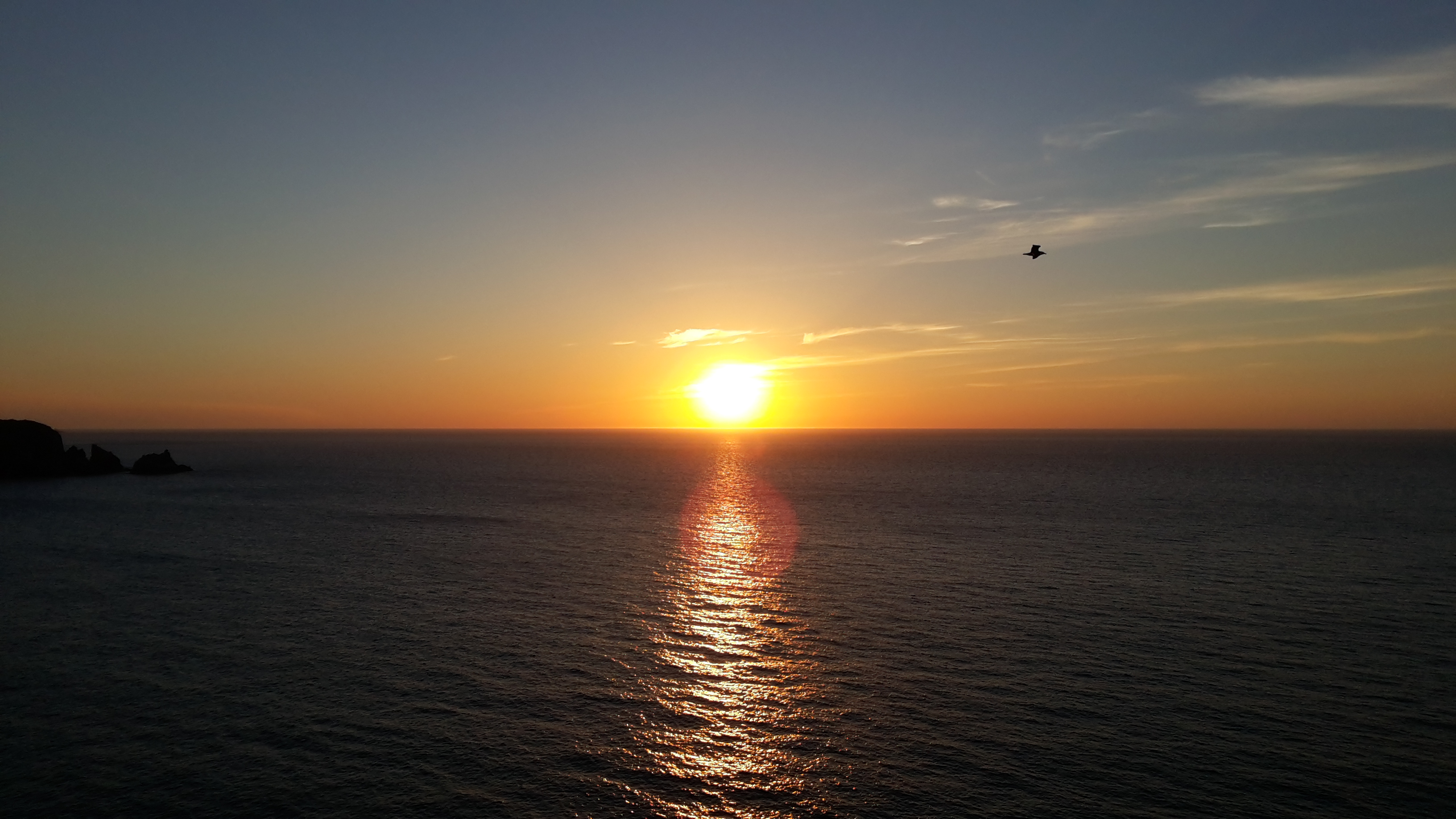
The view was nice and I took some nice pictures, but I was going way too slow. I wanted to make it to Douarnenez that day, but after the sun set, at around 22h, I realized I wouldn’t make it.

Nice sunset. Are we getting close?

It got dark, and I was in a really complicated part of the trail. The path was really narrow, I couldn’t see much ahead and around me, and I was misstepping a lot. Luckily, my boots saved my ankles a few times when I stepped nearly sideways. It was too dangerous to continue, specially along the cliffs, so I decided to turn away from the trail at the next way out. But I wasn’t close to any big way out.

Pointe the la Jument

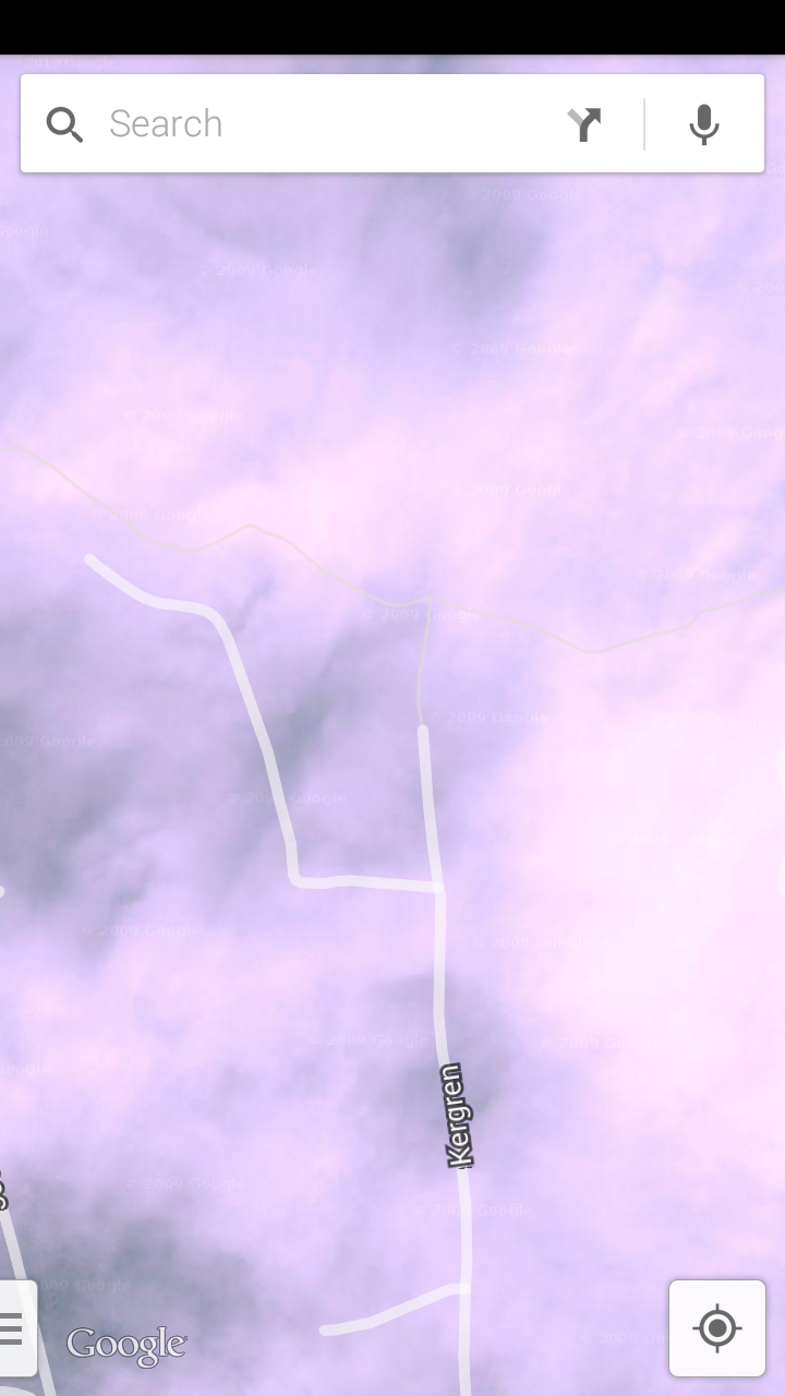
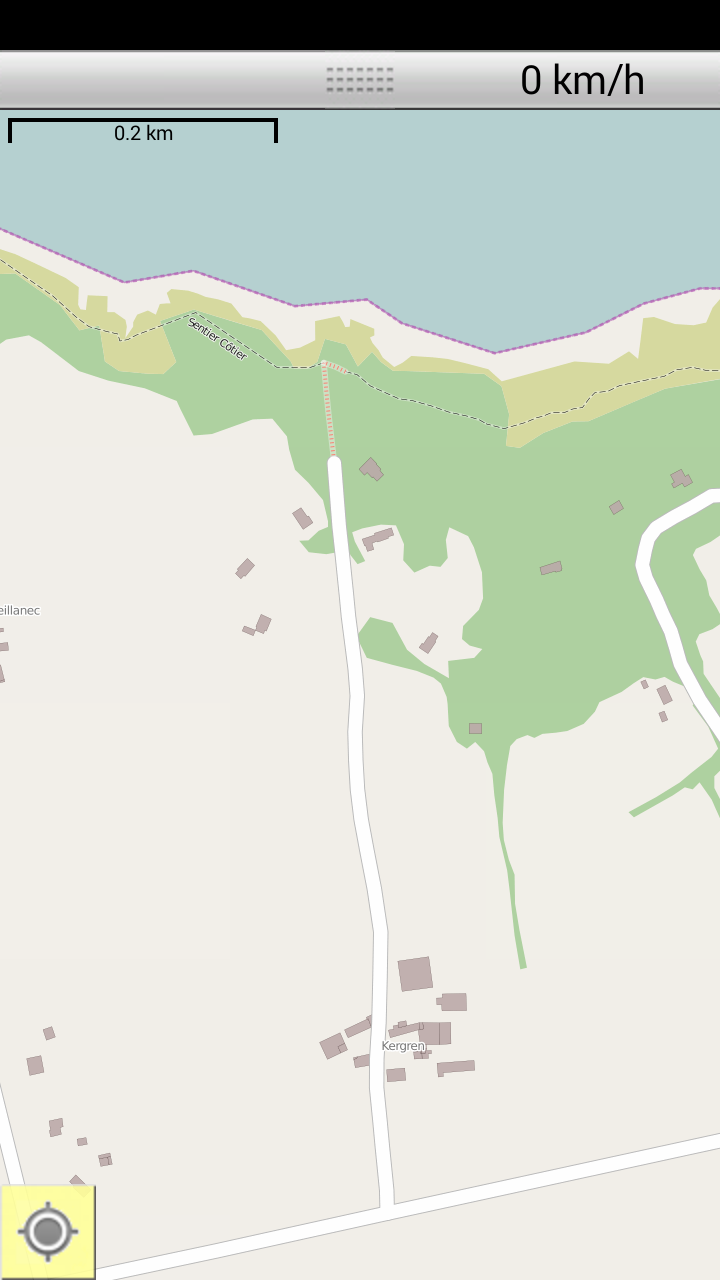
The closest way out was the trail to Kergren. There was a motor home parking space waiting for me. But when I got to the way out, it was closed, along with a danger sign!

Kergren: Passage Interdit!

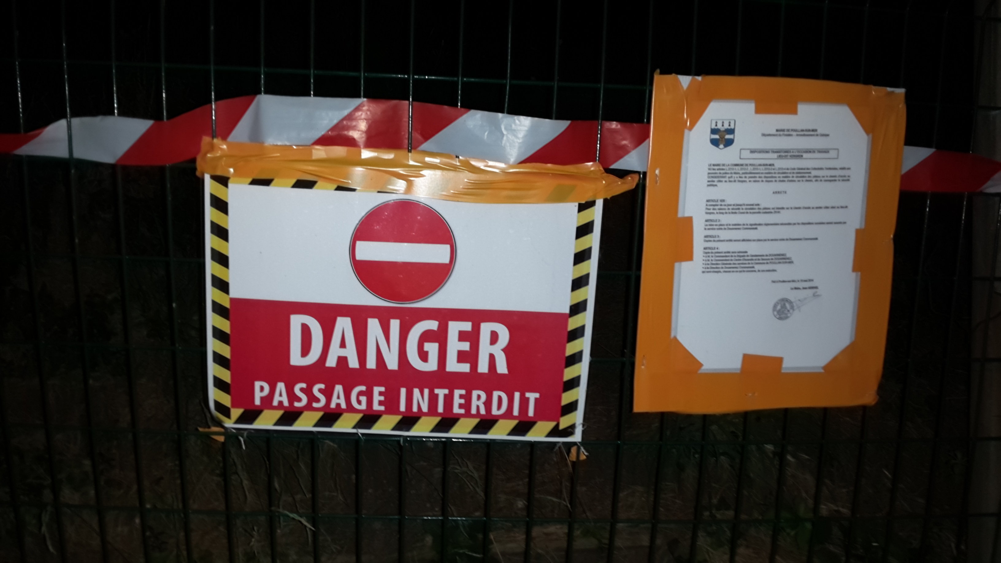
Google Maps didn’t say anything about the way being closed. OpenStreetMaps did, though. I guess I should have checked OpenStreetMaps more closely, instead of relying only on Google Maps.

Kergren passage in Google Maps
Kergren passage in OpenStreetMaps

I tried going around the danger sign and up the closed trail, but it was way too hard. There was a good reason for the trail being closed: it was steep without an easy path. I fell once, and decided to head back to the danger sign. It was dark, I was tired, and there was no easy place nearby to put up my tent.

So I just took out my sleeping bag and slept right there.

That looks like a good place to sleep...
That looks like a good place to sleep…

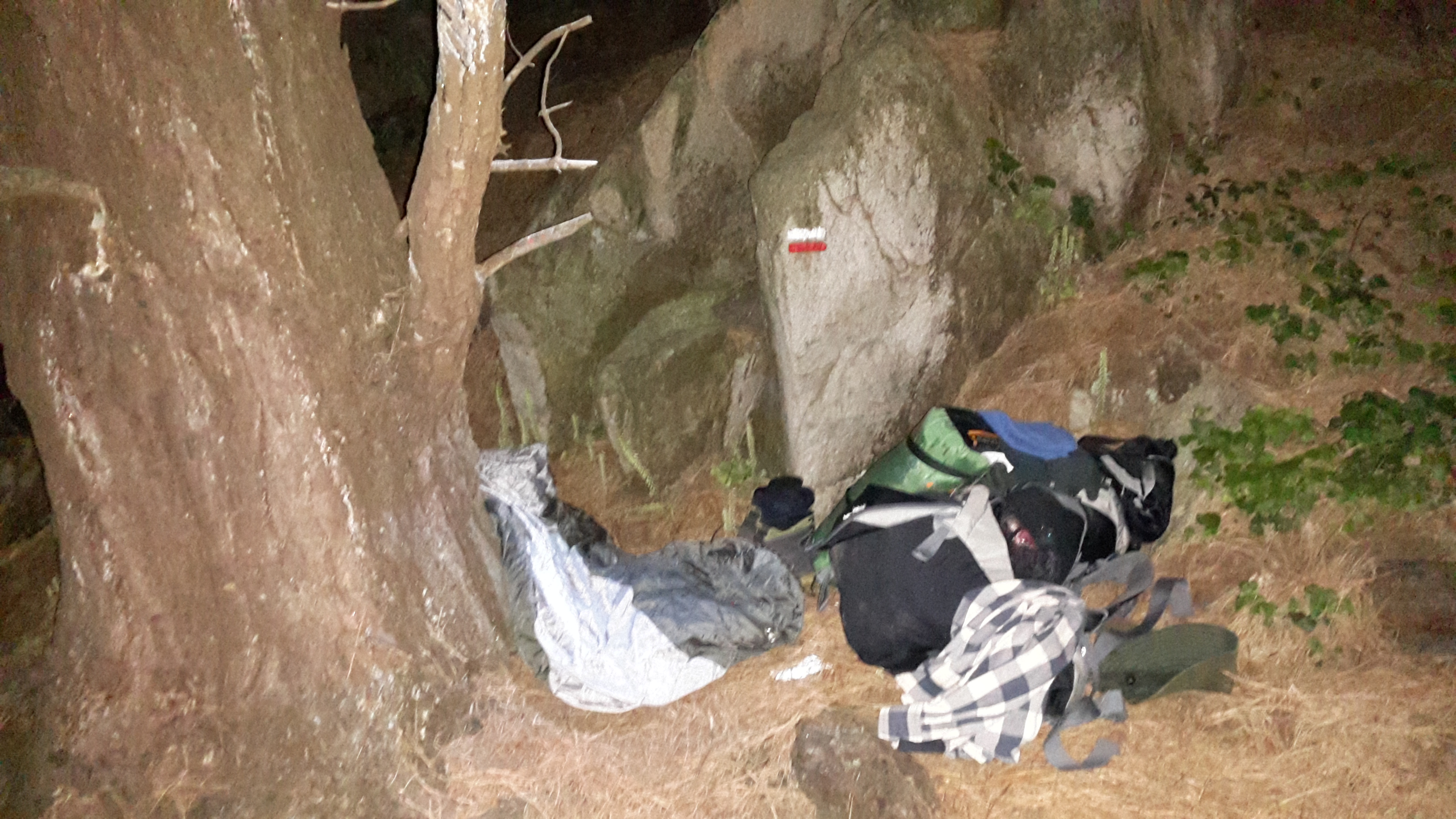
It wasn’t so bad, but it wasn’t so good either. I woke up with the sun the next day, at 5h something.

Day 2: 21/06

I woke up early on day 2. I organized my backpack, packed my tent (which incredibly did fit again inside its bag), and had breakfast.

Actually, I hadn’t really thought about breakfast. I just drank some water and ate two cereal bars, since I had plenty of them.

I stretched for about 15 minutes and then I was off towards the East again.

Early in the morning I met the first backpacker going in the opposite direction. It was the priest on his 15th day hiking. He said this stretch of the GR34 was the hardest part of the trail.

Much like the previous day, it was hot and sunny. The trail was hard like most of the previous day: going up and down hills, touring the coastline, crossing streams and criques. The view was awesome again.

My feet hanging off the cliff
My feet hanging off a cliff
Laetitia looking over a beautiful crique
Laetitia listening to the tiny stream

At some point during the day I got off the trail to get some water in Kerisit. There was noone there, but I met an old breton called Clet, “just like the pope [Cletus]”. We spoke for some time. He told me people had lost their faith about 40 years ago, just like the priest had told me a while ago, and that if I went up to Kergulan I might find his cousin, who was 91 years old, to ask for water. He also said that if I met his cousin, I wouldn’t be able to leave his house for a couple of hours, because he really liked to chat. So I went to Kergulan, but I didn’t find his cousin, just a young lady feeding her baby. I filled my water bottles and went back to the trail, or so I thought I did.

I managed to take a wrong turn while going back. When I noticed I had taken a wrong turn, I decided to stop for a meal and for a power nap. The meal was the same as the previous day. I took out my sleeping bag and just rested under some trees until the sun calmed down a little. When I took off again, I decided to just keep going in the wrong direction and turn back later, instead of going back where I had come from.

I kept following the sentier cotier until the Pointe du Kastel Kos. It was getting cold and dark, so I decided to call it a day. There was a motor home parking place closeby, and I set up my tent, in 9 minutes this time.

Sunset from my tent
Sunset from my tent

That was another night well slept.

Day 1: 20/06

I started my first day of hiking by taking a break. I had been dropped off close to the starting point in Pointe du Raz, but it was still about 15 min walking uphill. It was early afternoon, the sun was bright, it was hot, my backpack was heavy, my back was sore from a mild sunburn from the previous day, and I was already thirsty by the time I got to the top. I took some pictures with Laetitia, then I put down my backpack in the shade and rested for a few minutes.

There were a few tourists around, taking cliché pictures like the one below:

Laetitia looking away at Pointe du Raz. If you step on the tip of your toe and look far away, you can see New York. No, that's not true.
Laetitia looking away at Pointe du Raz. If you step on the tip of your toe and look far away, you can see New York. No, that’s not true.

There was a van taking people back and forth to the tourist shops about 1 km away. I walked to the tourist shops, filled my water bottle and grabbed a bite to eat. I walked back to my backpack and rested for a few more minutes, waiting for the sun to cool down a little.

Eventually, I set off towards the East.

Laetitia setting off from Pointe du Raz

Through the “sentier côtier”, I walked around in the rocks that make up the coastline in Britanny. The vegetation is mostly low brushes. The trails are very well waymarked and easy to follow. There are some big cliffs with an impressive view of the ocean.

After about half an hour walking, I got the Baie des Trespassés, the beach I had been to the previous day, where I got my mild sunburn. I stopped to fill my water bottle (again) and took the opportunity to say goodbye to my old shoes.

Good bye old shoes
Good bye old shoes

I was still carrying them around because I forgot to throw them away, but from now on I would only be using my hiking boots. I salvaged the laces, since they seemed like they could be of use later during the trip, and threw the shoes in a big bin.

I went up the hill again and continued on the trail. For some unknown reason, the trail skips over Pointe du Van, which was fine by me…

Along the way, there are some tiny “criques”, small beaches with big pebbles. The trail goes up and down from cliffs through rivers and criques. This constant up-and-down took a heavy toll on my unprepared legs. I got tired again quite fast.

I stopped frequently to listen to the birds, to the ocean, to the tiny streams, and to admire the view. Actually, I was tired all the time, I just used those reasons as excuses. And so, that way, I went throught Pointe de Castelmeur, and Pointe de Brézellec.

At some point close to Pointe de Castelmeur, there was a resting spot with a picnic table. Continuing the trail after that spot, there was a sign which indicated I was entering a natural reserve, along with the usual “no camping”, and “no fire” warnings. So I decided to go back to the picnic table and prepare my first warm meal.

I was now full of energy and ready to walk to Pointe du Penharn. The sun was now still somewhat bright, it was around 9 pm, but the temperature was much more pleasant. It was much more comfortable and I was walking faster, with fewer stops. I did stop for a while to watch the sun set in the ocean. The view was magnificent.

The sunset at Pointe du Quelquechose

It didn’t take long before I reached the Pointe de Penharn. I didn’t quite reach the tip of Pointe, but I was tired and decided to go to the tip the next day. It was getting dark and I thought I would have a better of the ocean with sunlight. I found a spot close to the trail next to a field that looked good, so I decided to set up my tent. The guy at the tourist office in Point-Croix said that it was forbidden to camp out anywhere, or “camping sauvage” as they call it, but that in Brittany nobody cared.

I had never set up the new tent before, but the salesman set it very quickly in the store, so it should be easy, right?

Luckily, it was indeed easy. It took me 10 minutes to set it up, and that was it. I was ready to call it a day and happy to have made it through, although I was quite tired. That was a night well-slept.