Day 3 started with a hunt for food. I woke up early, organized my backpack and took down my tent. I left my stuff under some trees and went to Beuzec Cap-Sizun looking for food. I bought some stuff on the market and had some paella in an event at the local school.
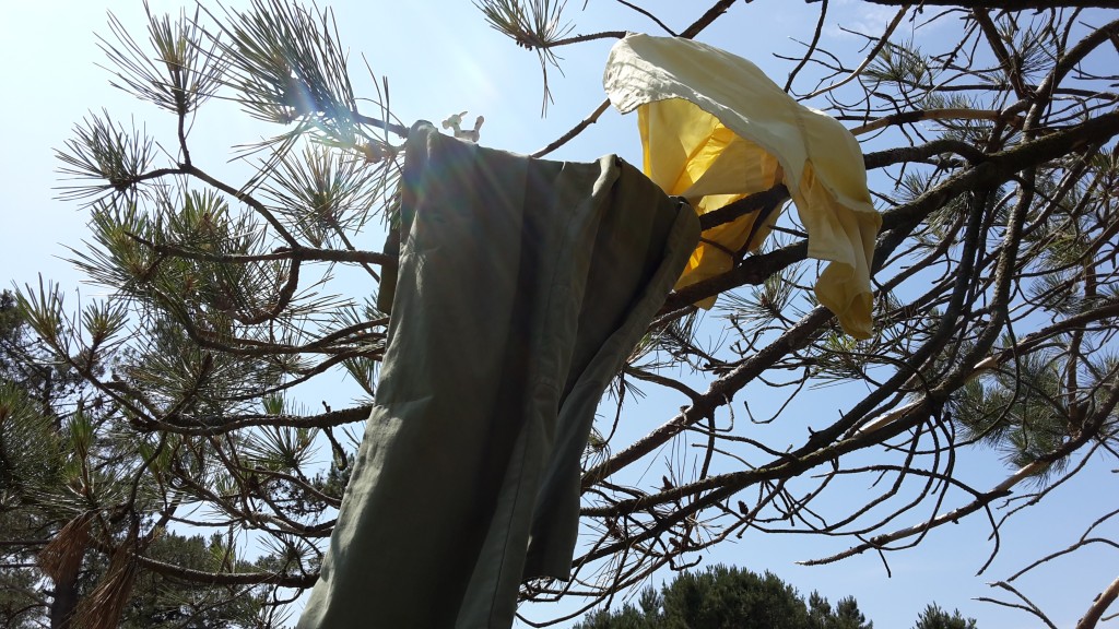
There were toilets near the parking place where I had camped. I realized I hadn’t showered nor changed clothes for two full days. Since there was a toilet nearby, I washed my clothes, my face, hair, and armpits using the sink. I left my clothes and towel drying on the tree right above where I had left my stuff.
While I was changing, I noticed something weird in my left thigh. Upon closer inspection, I realized it was a tick! A fat, happy, and plumpy tick! How long had it been there? I don’t know. I pulled it out.
Now I was fed, partly washed, changed and ready to go. Another day in the sentier cotier towards the East.
Even though I woke up early, I started hiking late this day, because of the paella and the tick and the washing and the drying. Also because of a power nap after lunch =).
Even though I had eaten well – a lot of paella -, my muscles were much more tired than the 2 first days. I walked slower and stopped more frequently. Every time I had to go up a hill, I would take a 15 minute pause. After a while, every time I had to go down a hill, I knew it meant I would have to go up a hill later on, so I ended up pausing twice: once before going down and once before going up.
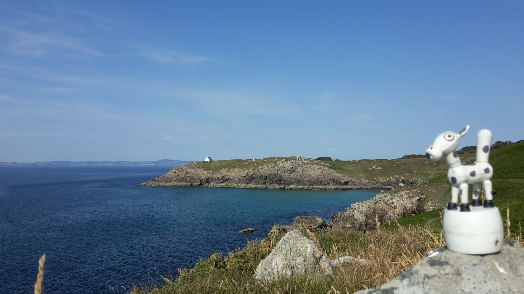
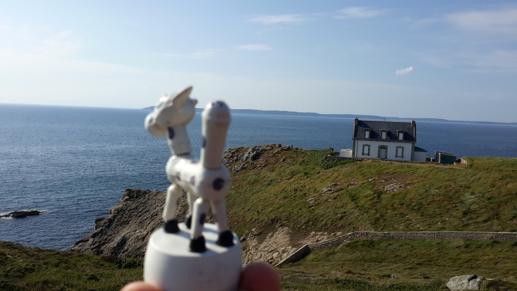
The view was nice and I took some nice pictures, but I was going way too slow. I wanted to make it to Douarnenez that day, but after the sun set, at around 22h, I realized I wouldn’t make it.
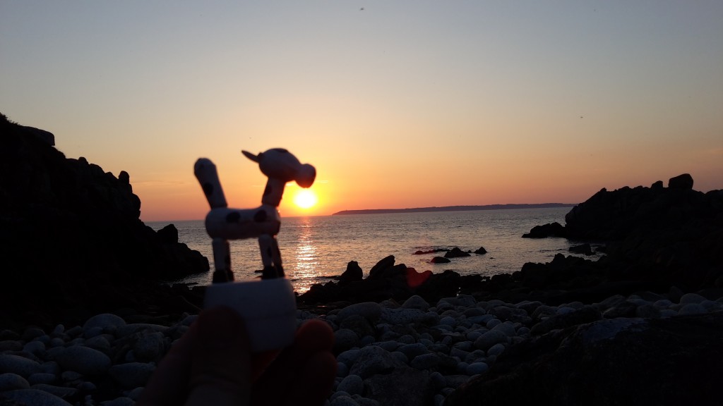
It got dark, and I was in a really complicated part of the trail. The path was really narrow, I couldn’t see much ahead and around me, and I was misstepping a lot. Luckily, my boots saved my ankles a few times when I stepped nearly sideways. It was too dangerous to continue, specially along the cliffs, so I decided to turn away from the trail at the next way out. But I wasn’t close to any big way out.
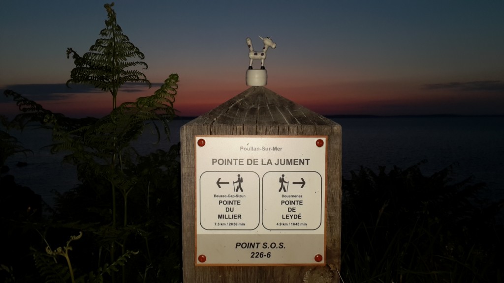
The closest way out was the trail to Kergren. There was a motor home parking space waiting for me. But when I got to the way out, it was closed, along with a danger sign!
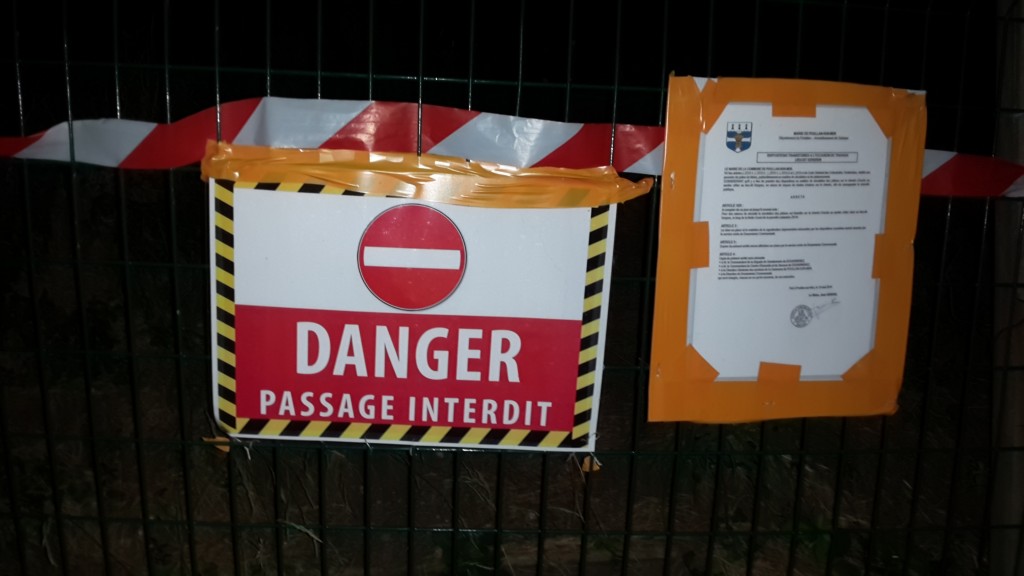
Google Maps didn’t say anything about the way being closed. OpenStreetMaps did, though. I guess I should have checked OpenStreetMaps more closely, instead of relying only on Google Maps.
I tried going around the danger sign and up the closed trail, but it was way too hard. There was a good reason for the trail being closed: it was steep without an easy path. I fell once, and decided to head back to the danger sign. It was dark, I was tired, and there was no easy place nearby to put up my tent.
So I just took out my sleeping bag and slept right there.
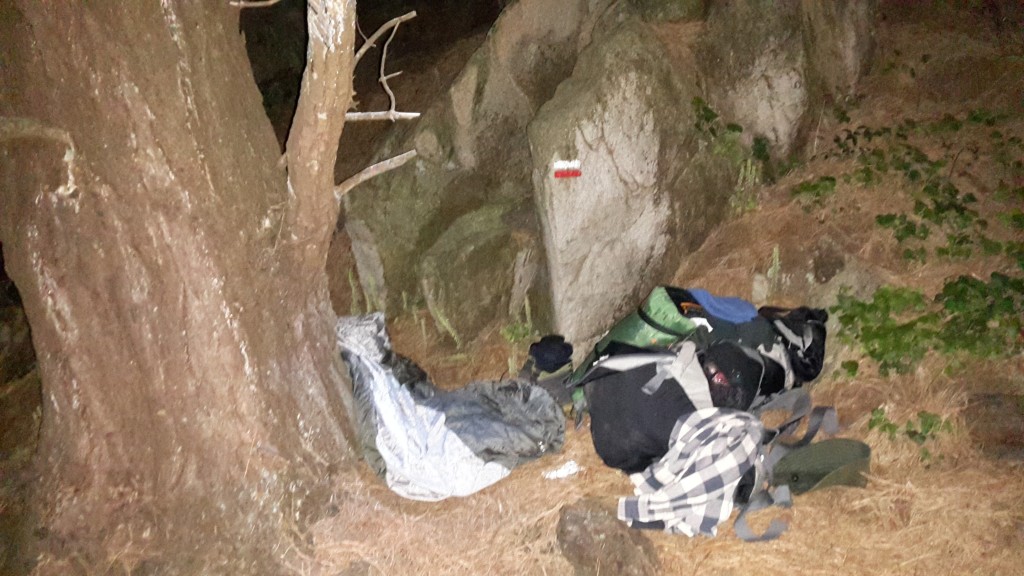
It wasn’t so bad, but it wasn’t so good either. I woke up with the sun the next day, at 5h something.